FE Civil Surveying

Knowledge area 9 of the FE Civil exam: 6–9 of the 110 questions. The subtopics NCEES lists, how they are tested and worked practice problems with solutions.

110 questions on the real 5 hours 20 minutes clock, weighted to the NCEES specifications, with a score by knowledge area and a worked solution for every answer.

Or start the free Surveying drill

What the specification lists

  • Angles, distances, and trigonometry
  • Area computations
  • Earthwork and volume computations
  • Coordinate systems (e.g., state plane, latitude/longitude)
  • Leveling (e.g., differential, elevations, percent grades)

From the NCEES FE Civil CBT exam specifications, knowledge area 9.

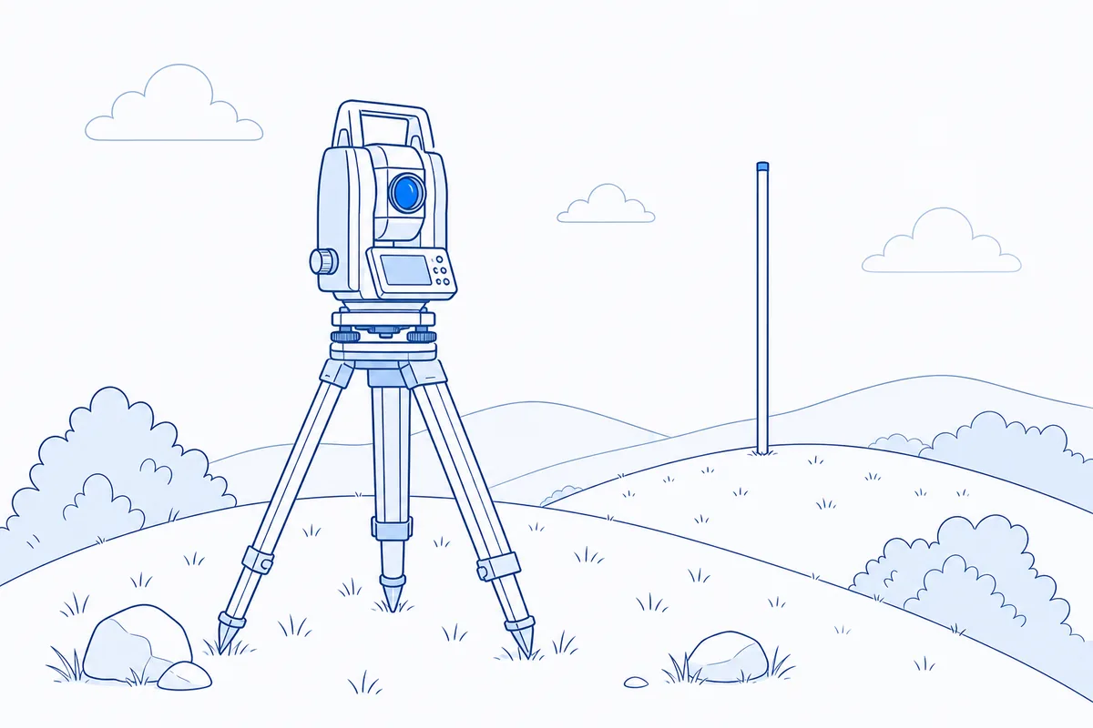
Line drawing of a total station on a tripod and a leveling rod on a hillside

How Surveying is tested

Surveying questions are geometry with engineering units: bearings and azimuths, traverse latitudes and departures, closure, areas by coordinates, earthwork volumes by average end area and differential leveling.

On exam day the relationships you need are in the Reference Handbook sections on Civil Engineering and Mathematics. The handbook is the only reference allowed, so practice finding each formula in it rather than memorizing a separate sheet.

FE Civil Surveying practice problems

Work each problem with your calculator and the handbook, then open the solution.

Problem 1 · Earthwork and volume computations

Two roadway cross sections 50 ft apart have cut areas of 210 ft² and 345 ft². Using the average end area method, the volume of cut between them is most nearly:

  1. A.257 yd³
  2. B.389 yd³
  3. C.514 yd³
  4. D.639 yd³
Show the answer and solution

Answer: C: 514 yd³

V = L(A₁ + A₂)/2 = 50(210 + 345)/2 = 13,875 ft³, and 13,875/27 = 514 yd³. Using either end area alone ignores the change in section along the 50 ft.

Earthwork and volume computations · Reference Handbook: Civil Engineering

Problem 2 · Coordinate systems

The U.S. State Plane Coordinate System uses different map projections for different zones. The projections used are:

  1. A.Universal Transverse Mercator for every zone, with 6° wide zones
  2. B.Lambert conformal conic for zones with greater east-west extent and transverse Mercator for zones with greater north-south extent
  3. C.Transverse Mercator for zones with greater east-west extent and Lambert conformal conic for zones with greater north-south extent
  4. D.Polar stereographic for every zone
Show the answer and solution

Answer: B: Lambert conformal conic for zones with greater east-west extent and transverse Mercator for zones with greater north-south extent

A conic projection keeps scale error small along an east-west band, and a transverse Mercator keeps it small along a north-south band. Each state zone uses the projection that matches its shape, and some states (and the Alaska panhandle) use an oblique Mercator.

Coordinate systems · Reference Handbook: Civil Engineering

Problem 3 · Angles, distances, and trigonometry

A survey line has a bearing of S 37°25' E. Its azimuth, measured clockwise from north, is:

  1. A.127°25'
  2. B.142°35'
  3. C.217°25'
  4. D.322°35'
Show the answer and solution

Answer: B: 142°35'

A south-east bearing lies in the second quadrant, so the azimuth is 180° − 37°25' = 142°35'. Adding the angle to 180° applies only to south-west bearings.

Angles, distances, and trigonometry · Reference Handbook: Civil Engineering

Problem 4 · Leveling

In differential leveling, the main reason for keeping the backsight and foresight distances from each instrument setup approximately equal is to:

  1. A.Remove the need for turning points on long runs
  2. B.Cancel the effects of collimation (line-of-sight) error and of earth curvature and refraction
  3. C.Compensate for the instrument settling between readings
  4. D.Eliminate errors caused by a rod that is not held plumb
Show the answer and solution

Answer: B: Cancel the effects of collimation (line-of-sight) error and of earth curvature and refraction

An inclined line of sight, or curvature and refraction, shifts a rod reading by an amount proportional to the sight length (or its square). With equal backsight and foresight distances, the shift is the same on both readings, so it cancels in the difference BS − FS.

Leveling · Reference Handbook: Civil Engineering

More FE Civil practice problems from every knowledge area

Sit the full exam under the real clock

110 questions on the real 5 hours 20 minutes clock, weighted to the NCEES specifications, with a score by knowledge area and a worked solution for every answer.

Or start the free Surveying drill

Common questions

How many Surveying questions are on the FE Civil exam?

The NCEES FE Civil specification lists 6–9 questions on Surveying, out of 110. Every examinee gets the same number per knowledge area.

What does Surveying cover on the FE Civil exam?

Angles, distances, and trigonometry; Area computations; Earthwork and volume computations; Coordinate systems (e.g., state plane, latitude/longitude); Leveling (e.g., differential, elevations, percent grades).

Where are the Surveying formulas on exam day?

In the NCEES FE Reference Handbook, which appears on screen during the exam: the Civil Engineering and Mathematics sections. Practice with your free copy from MyNCEES so you know where each relationship sits.

Original independent practice questions written to the published NCEES exam specifications. Not affiliated with or endorsed by NCEES (National Council of Examiners for Engineering and Surveying).